SITE CONTROL/SETTING OUT
PRIMARY LOCAL GRID CONTROL
GPS NATIONAL GRID CONTROL
BUILDING CONTROL
SETTING OUT
MONITORING MOVEMENT
MONITORING CONSTRUCTION
VOLUMETRICS
CO-ORDINATES FOR PHOTOGRAMMETRY
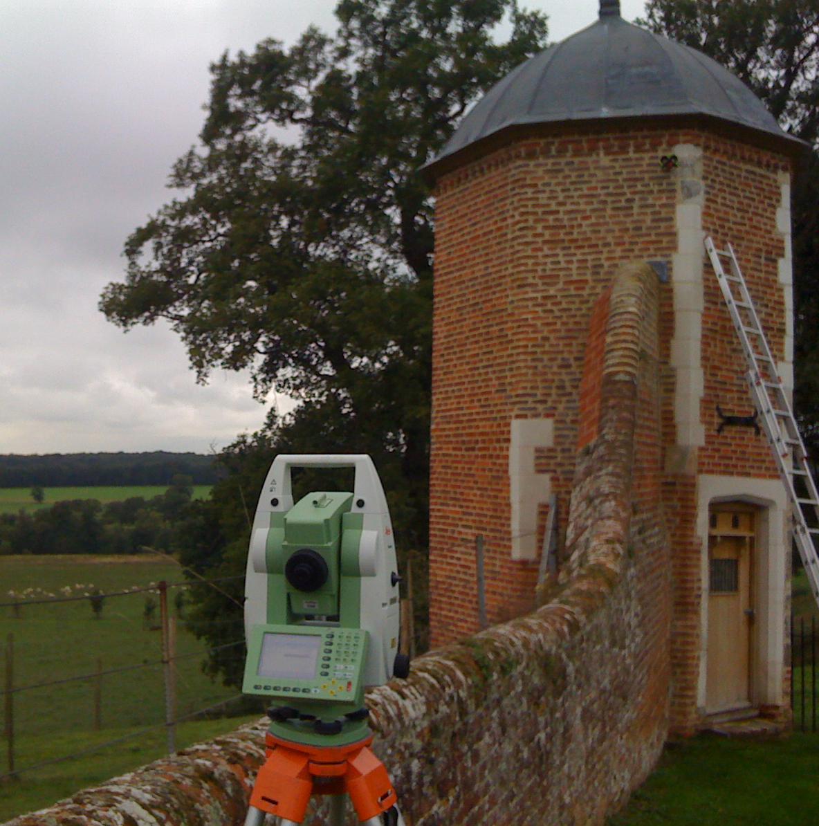
Site control is the basis for most developments and we use the latest Leica instrumentation to provide the primary local grid, or, where necessary, GPS to establish accurate ground markers related to Ordnance Survey national grid. We can then use this grid for the future setting out and monitoring of the construction until project completion.
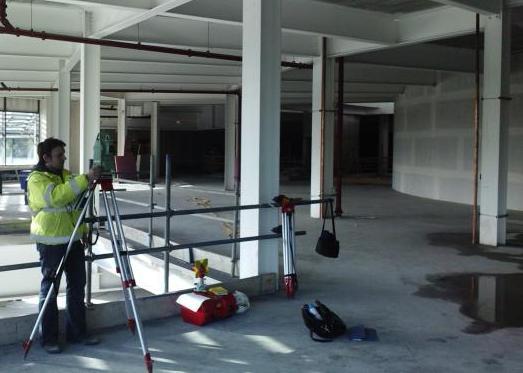
Setting out of design coordinates on the ground is carried out using our Leica surveying instruments and purpose written software. All points are loaded from clients CAD drawings onto dataloggers eliminating errors and saving time. We are able to accurately mark out building footprints, piling locations and other earthworks, each point is also logged for quality control purposes.


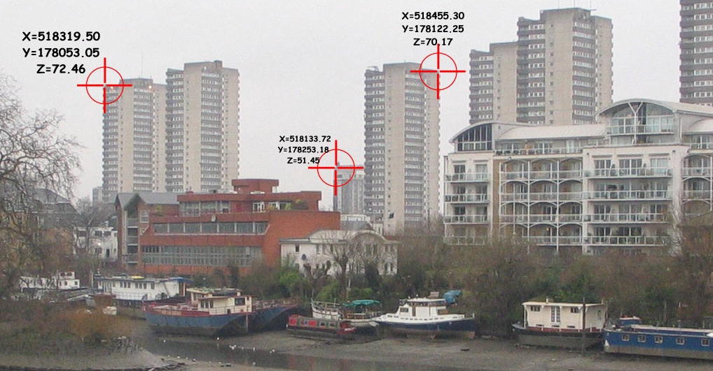
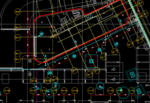
X, Y, Z Co-ordinates for photogrammetry
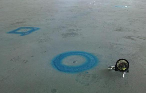
Site grid to be set out
©Twickenham Surveys Ltd 1982-2019 all rights reserved