TOPOGRAPHICAL SURVEYS
SITE SURVEYS
LOCAL GRID SURVEYS
GPS NATIONAL GRID SURVEYS
FLOOD RISK ASSESSMENT SURVEYS
2D OR 3D SURVEYS
CONTOURING
REMOTE SURVEYING
RIGHTS TO LIGHT SURVEYS
LAND REGISTRY MAPPING
VOLUMETRICS
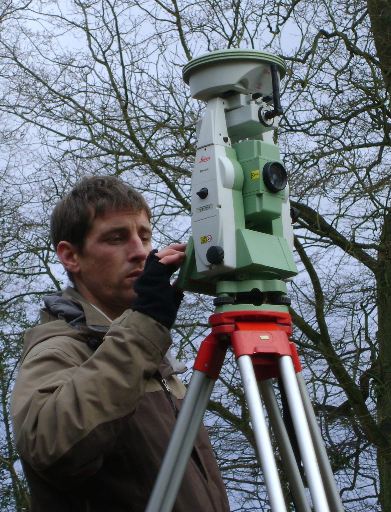
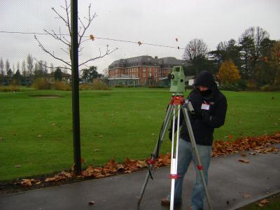
One of Twickenham Surveys’ specialisations is land surveys and using the latest Leica instrumentation and software we undertake a wide variety of surveys from private gardens to acres of public parks.
Our Leica Total Stations allow us to use Leica “Smartnet” GPS antennas, which give immediate real time co-ordinates by utilising the Ordnance Survey Active GPS Network.This equipment enables us to relate surveys to Ordnance Survey GPS Level Datum and National Grid co-ordinates.
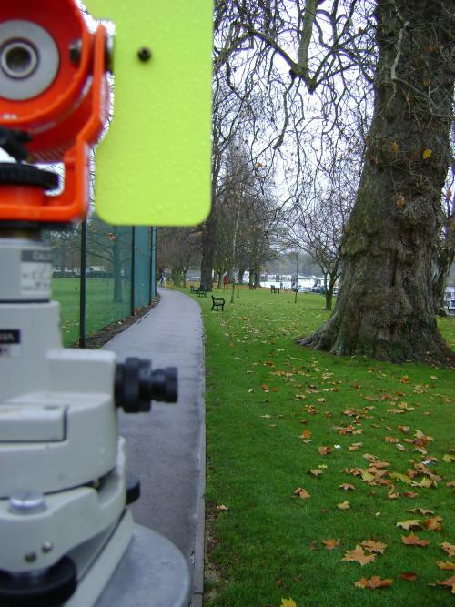
Reflectorless technology on total stations means we can record data on features that were previously costly to survey, in particular overlooking buildings and elevations.
We are also able to survey features using reflectorless technology that were previously too hazardous to survey without costly traffic management in place such as service covers and levels in busy roads and levels and positions of railway tracks.
The collection of data on site is predominantly automated and stored on a data logger, then it is processed and completed in the office by the site surveyor to ensure notes or any "on site anomalies" are correctly depicted.
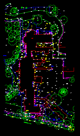
The finished survey is produced in the industry standard Autocad and is available in a variety of different formats. Our standard layering system allows for easy manipulation of data and is based on BS1192 part 5 but with "user friendly" titles.
Hard paper copy can also be provided for record purposes.


©Twickenham Surveys Ltd 1982-2019 all rights reserved